
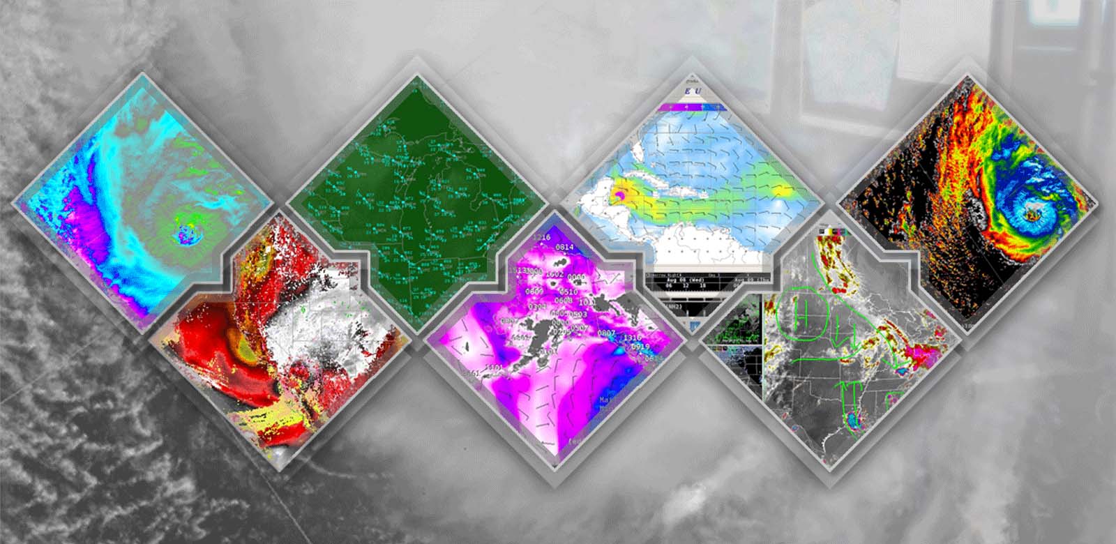
Advanced Weather Interactive Processing System
AWIPS enables forecasters to make weather predictions that can ultimately save lives. It's a complex network of systems that ingest and integrate meteorological, hydrological, satellite and radar data.
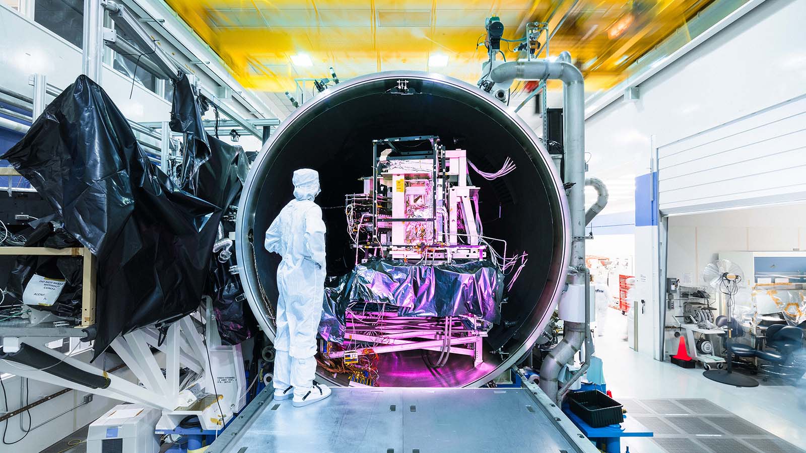
Raytheon provides end-to-end space solutions – from ground control systems to on-orbit sensors – to keep our customers informed and ahead of the threat.
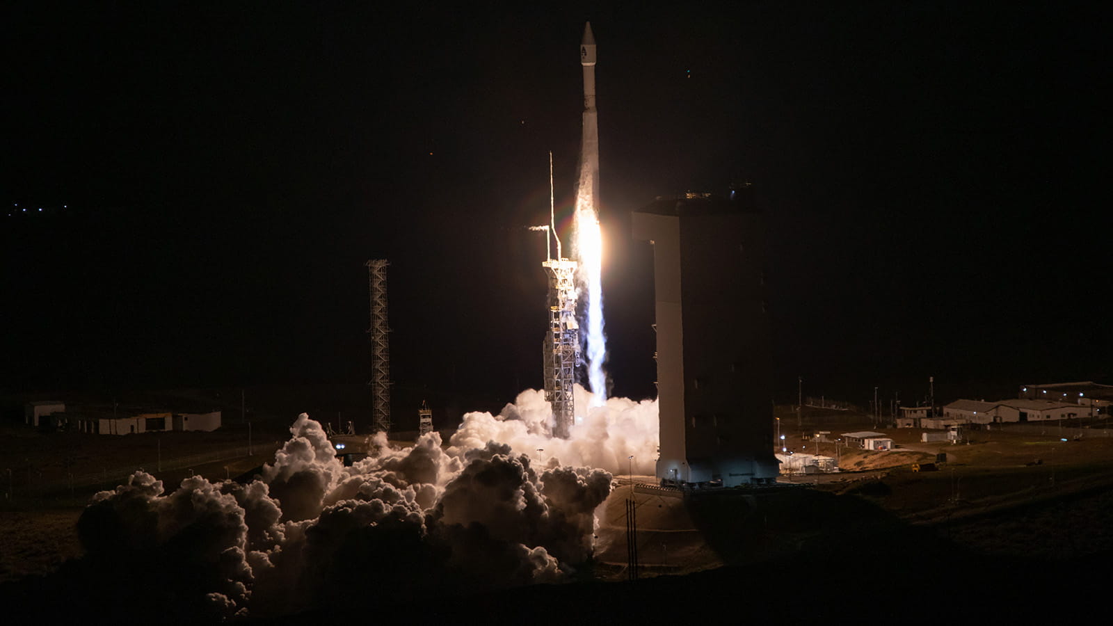
Orchestrating satellite constellations and processing the data they collect to deliver actionable insights to decision-makers around the world.
AWIPS enables forecasters to make weather predictions that can ultimately save lives. It's a complex network of systems that ingest and integrate meteorological, hydrological, satellite and radar data.
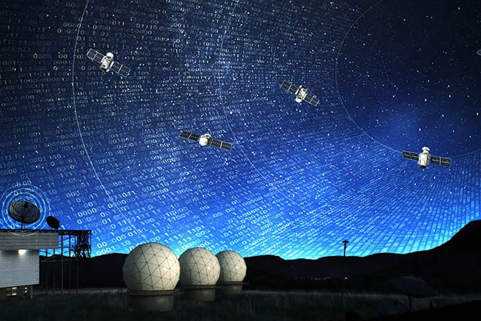
Through a single ground system Raytheon can increase the speed and fidelity of data collection.

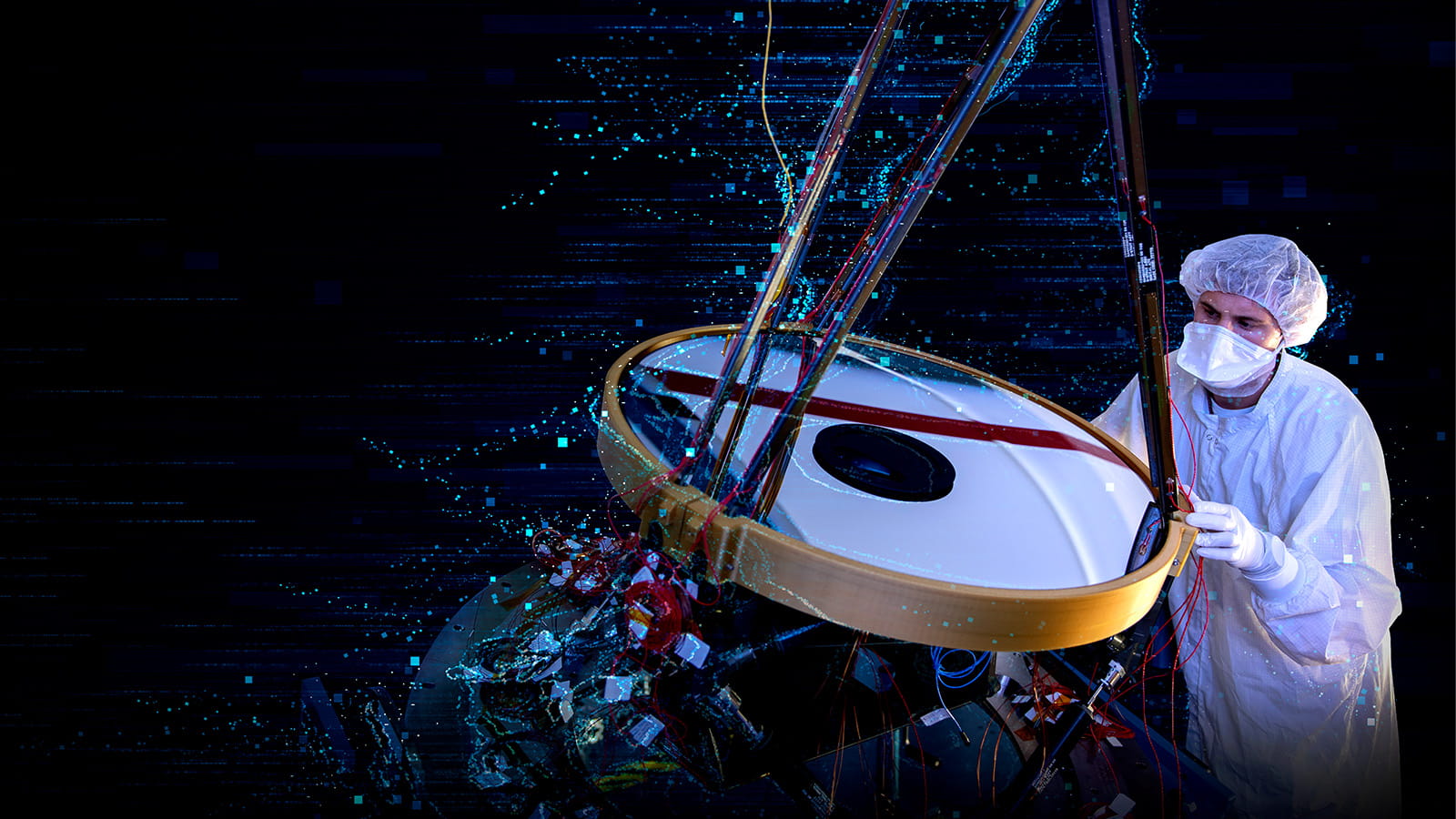
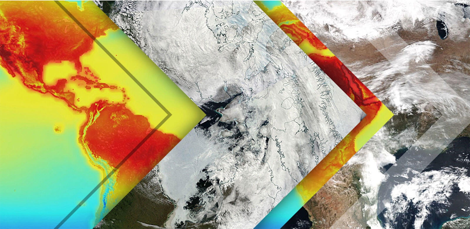
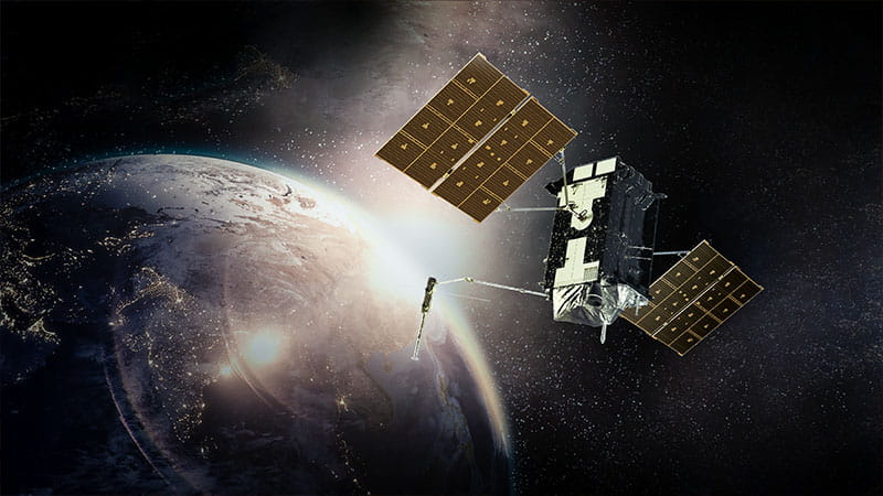
Our space-based active and passive sensing technologies are at the cutting edge of data collection for Earth observation.
The JPSS CGS is a flexible, cost-effective global system designed to support current and future weather and environmental sensing satellite missions.

FORGE Mission Data Processing Application Framework makes it easy for analysts to process and understand information from nearly any source.
The Global Positioning System, or GPS, is a network of orbiting satellites that broadcasts a continuous stream of precise position details to earth, allowing GPS receivers to triangulate users’ exact locations across the world.
Our space-based active and passive sensing technologies are at the cutting edge of data collection for Earth observation.
VIIRS is a key instrument in the Joint Polar Satellite System, the nation's next generation polar-orbiting operational environmental satellite system.